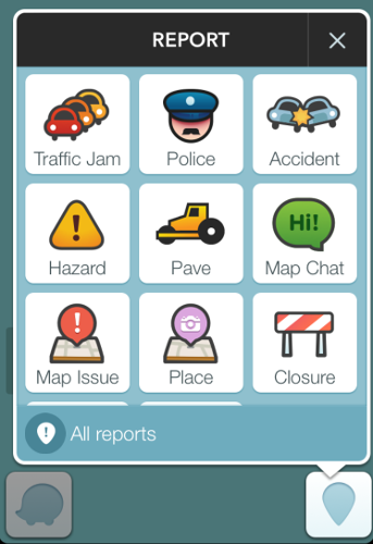
Waze provides real-time traffic information by using traffic and other data contributed by its users. According to Waze, users "can also take a more active role by sharing road reports on accidents, police traps, or any other hazards along the way, helping to give other users in the area a 'heads-up' about what's to come".
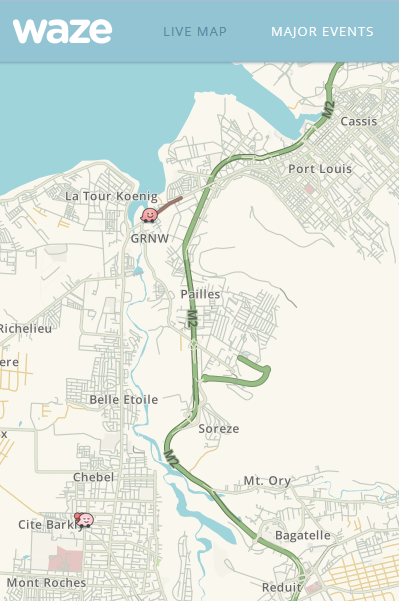
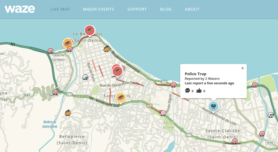
Real-time traffic information for Mauritius is limited in comparision with Reunion island. The low number of Waze users in Mauritius is unusual given that there were 549,000 mobile internet subscriptions in 2014. It could be that people are not used to contributing information, or that it is not viewed as useful to get real-time traffic information, or that the cost of cellular data usage is viewed as expensive.
Google Maps displays driving directions for Mauritius. It does not provide any information about public transit as bus timetables are not available.
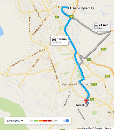
Real-time traffic information in combination with location-based services can help the user to determine the estimated time of arrival for a trip. There are privacy implications when using those services.
1. "Free Community-based Mapping, Traffic & Navigation App"
2. "Table 2 - ICT access as at end of year, 2010 - 2014, Statistics Mauritius"