Mauritius is an island in the Indian Ocean. It is located between between latitudes 19°50’ south and 20°30’ south, and between longitudes 57°18’ east and 57°46’ east.
A search for photos of Mauritius usually turns up images of an underwater waterfall. The underwater waterfall has been described as an "optical illusion makes it look like there's really an underwater waterfall within the ocean".

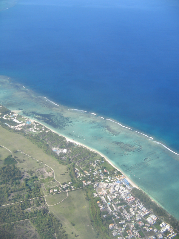
The location of the "underwater waterfall" on Google Maps is Le Morne which is on the South West coast of the Mauritius. However, the "underwater waterfall" is not visible during an air flight over the location.

According to Ethan Siegel, while most of the ocean waters around Mauritius "is at depths ranging from 8-to-150 meters, there’s a huge plunge off that shelf into the ocean, where the depth drops to many thousands of meters". The directional erosion creates the appearance of an underwater waterfall.
1. https://au.travel.yahoo.com/news/a/30558977/the-underwater-waterfall-of-mauritius-island/, "The ‘Underwater Waterfall’ of Mauritius Island", Allison Wallace, January 2016
2. https://www.google.com/maps/search/Mauritius+waterfall+digital+Globe/@-20.4709123,57.2762344,4451a,20y,90h,40.71t/data=!3m2!1e3!4b1, Google Maps, March 2016
3. https://medium.com/starts-with-a-bang/weekend-diversion-an-underwater-waterfall-63228e934656#.nfzm85czm, "Weekend Diversion: An Underwater Waterfall", Ethan Siegel, February 2014